Botts Campground
Closed today
As the Forest Service lists it · USDA Forest Service
Campsites
Activities: Fishing, Hiking, Swimming, Tubing

Site by site, from Recreation.gov.
About
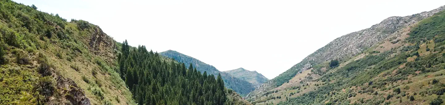


This small campground is located about six miles east of Huntsville, Utah on a curve along the South Fork of the Ogden River. Botts sits at an elevation of 5,200 feet. It has been a popular camping spot since the pioneers came to Utah.
Facilities
This campground offers 7 single campsites and 1 double campsite, picnic tables, fire rings and vault restrooms. A host is not on-site but can be found at Magpie Campground (west) or South Fork Campground (east).
More about Botts
Natural features
This campground is situated among cottonwoods and willow. Although the trees are not thick, they are big and very old. The South Fork of the Ogden River runs alongside the campground.
Recreation
Popular local recreation activities include fishing, hiking, swimming, and tubing down the South Fork Ogden River (a life jacket is required for all tubers).
Nearby attractions
Beautiful Ogden Valley has numerous boating, fishing, hiking, horseback and off-road vehicle riding and scenic driving opportunities. Pineview Reservoir is a short drive from the campground with boating, fishing and swimming. Causey Reservoir is close by, offering great canoeing and fishing, as well as hiking, biking and horseback riding trails. Highway 39 continues on to Monte Cristo Summit with sweeping mountain views. ATV and hiking trails are abundant in the area.
From Recreation.gov, updated Aug 11, 2026. Photos as credited.
Nights
model forecastSunset 5:04 PM, sunrise 7:20 AM · Every night at or below freezing
- Tonight90%34
- Fri90%40
- Sat59%
- Sun34%
- Mon34%
- Tue36%
Lows are each next morning's minimum, from the Open-Meteo model at 5,266 ft; rain is the chance that evening or next morning; is the day's strongest gusts, mph, shown from 25 mph. The moon is worked out, not forecast.
Details
- Reservations
- For reservations, information, regulations, and current conditions click here to go to www.recreation.gov
- Rules
- Quiet hours are 10:00 pm - 8:00 am
Weather
- Today19Rain0 in39°34°
- Tomorrow20Heavy snow4 in37°28°
- Sat21Snow showers2 in34°19°
- Sun22Cloudy37°21°
- Mon23Fog34%37°23°
- Tue24Cloudy37°19°
- Wed25Fog36%39°27°
Source: Open-Meteo (CC BY 4.0), model forecast.
Getting there
Phone: (385) 273-1100
Directions
From Ogden, Utah travel east on 12th Street through Ogden Canyon. Continue on Highway 39 toward Monte Cristo. The campgrounds in this complex are Magpie, Botts, South Fork, Perception Park, Upper and Lower Meadows, and Willows in order from west to east. South Fork Campground complex is located approximately 5 to 7 miles east of Huntsville, Utah, on Highway 39.
Nearby
in a straight lineCampgrounds
- South ForkClosed today · 0.5 mi
- MagpieClosed today · 0.7 mi
- Lower MeadowsClosed today · 1.0 mi
- Perception Park FamilyClosed today · 1.3 mi
- Upper MeadowsClosed today · 1.5 mi
- WillowsClosed today · 1.6 mi