Devils Canyon Campground
Opening status not listed
The Forest Service doesn't list a status for this campground right now. That's unknown, not closed: check with the forest before you go.
As the Forest Service lists it · USDA Forest Service
Season
next 12 monthsOpens in about 133 days, early Apr
The forest's words: “Beginning April to September 30”. The edges are approximate.
Campsites
Activities: Auto touring, Biking, Hiking, Information site, Picnicking and 3 more
Site by site, from Recreation.gov.
About
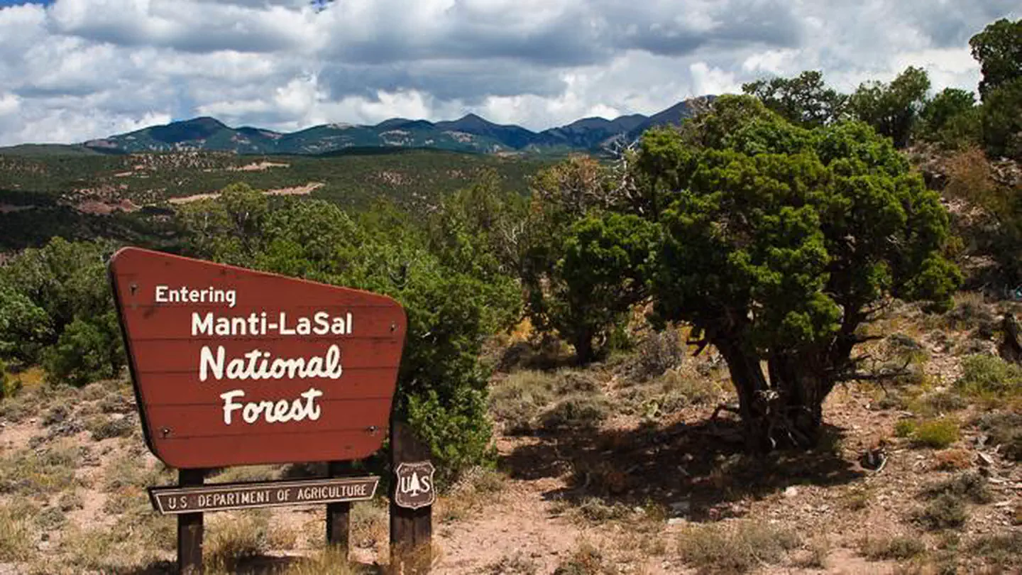
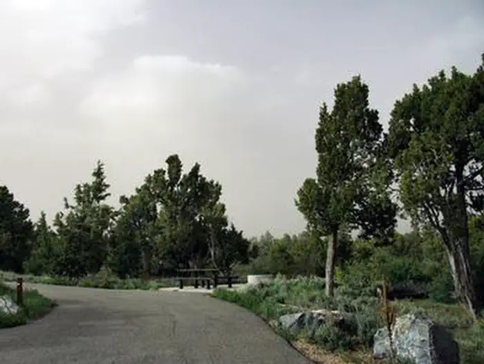
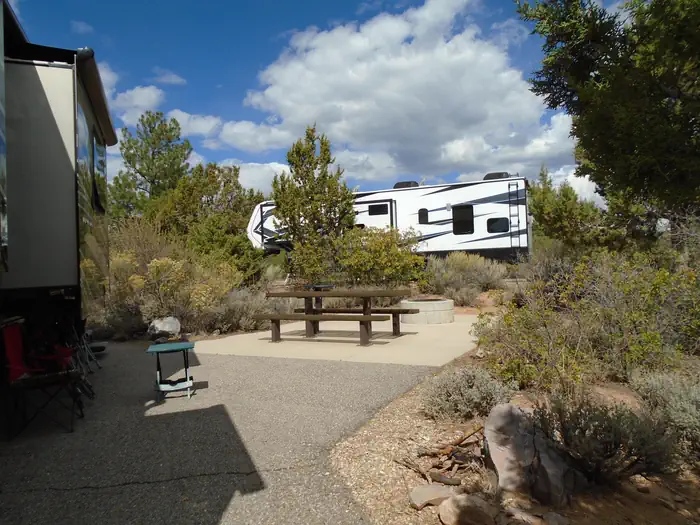
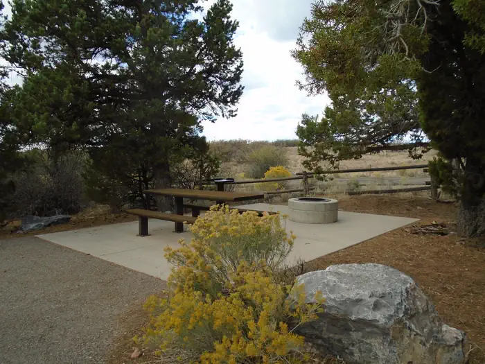
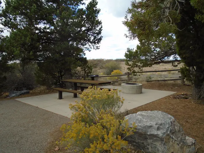

Devils Canyon Campground sits in the Manti-LaSal National Forest of southeast Utah at the foot of the Abajo Mountains.
There is water available seasonally from June to September.
Facilities
The campground contains numerous single-family sites with picnic tables and fire rings. Vault toilets and drinking water (seasonal) are provided. Showers are available eight miles south in Blanding. Firewood is limited. Parking spurs are paved. Sites # 1-5 and 8-16 are accessible and have paved areas around the fire pit and picnic table. Sites # 6 & 7 have short trails from parking spur to paved camping area and are not considered accessible. There is a 14 day stay limit at this campground.
More about Devils Canyon
Natural features
Ponderosa pines, pinyon pines and juniper cover the area, offering limited shade. The campground sits at an elevation of 7,400 feet, and summer temperatures are warm in the day and cool in the evening. Birds, squirrels, chipmunks, mule deer and black bear may be seen in the area.
Recreation
Several miles of off-road vehicle trails crisscross the Abajo Mountains. The Camp Jackson/Wagon Wheel Trail can be accessed nearby.
The Abajo Loop State Scenic Backway passes by the campground. It leads from the desert floor and red rock canyons to steep mountains over 10,000 feet high, with overlooks and panoramic views. The byway is suitable for passenger vehicles from late spring through fall but is not recommended for large RVs.
Nearby attractions
Popular attractions in the area include Canyonlands, Arches and Mesa Verde National Parks, Dark Canyon Wilderness, Edge of the Cedars State Park, Lake Powell and numerous archaeological sites.
Evening programs are provided at Edge of the Cedars Museum in Blanding. The San Juan County Fair is held annually in August in Monticello.
From Recreation.gov, updated Feb 25, 2026. Photos as credited.
Nights
model forecastSunset 5:03 PM, sunrise 7:03 AM · Every night at or below freezing
- Tonight
- Fri33
- Sat
- Sun
- Mon
- Tue
Lows are each next morning's minimum, from the Open-Meteo model at 7,113 ft; rain is the chance that evening or next morning; is the day's strongest gusts, mph, shown from 25 mph. The moon is worked out, not forecast.
Details
- Season
- Beginning April to September 30
- Reservations
- This site can be reserved by calling Toll Free 1-877-444-6777 (International 518-885-3639 or TDD 877-833-6777) or on-line at: Devils Canyon, Manti-La Sal National Forest - Recreation.gov
- Fees
- $20/Night for each campsite
Weather
- Today19Cloudy43°30°
- Tomorrow20Cloudy37°30°
- Sat21Cloudy37°28°
- Sun22Cloudy37°28°
- Mon23Light drizzle37°30°
- Tue24Cloudy39°28°
- Wed25Cloudy37°28°
Source: Open-Meteo (CC BY 4.0), model forecast.
Getting there
Phone: (435) 587-2041
Directions
The campground is 13 miles south of Monticello, Utah and 9 miles north of Blanding, Utah on US Highway 191. The campground is approximately 1/4-mile off the highway.
Nearby
in a straight lineCampgrounds
- NizhoniNot listed · 7.8 mi
- Dalton SpringsNot listed · 9.5 mi
- BuckboardNot listed · 10 mi
- Foy Lake Fishing/Camping SiteOpen today · 13 mi
