Cypress Mountain
Ahora no hay remontes listados
Máximo el mié 25, 11 cm · Nieve hasta la base · Parte alta · Pronóstico completo
Comprobado a las 4:26 AM · 4:26 AM hora local · de cypressmountain.com
Cámaras de Cypress Mountain
3 · deslizaMapa
Mapas
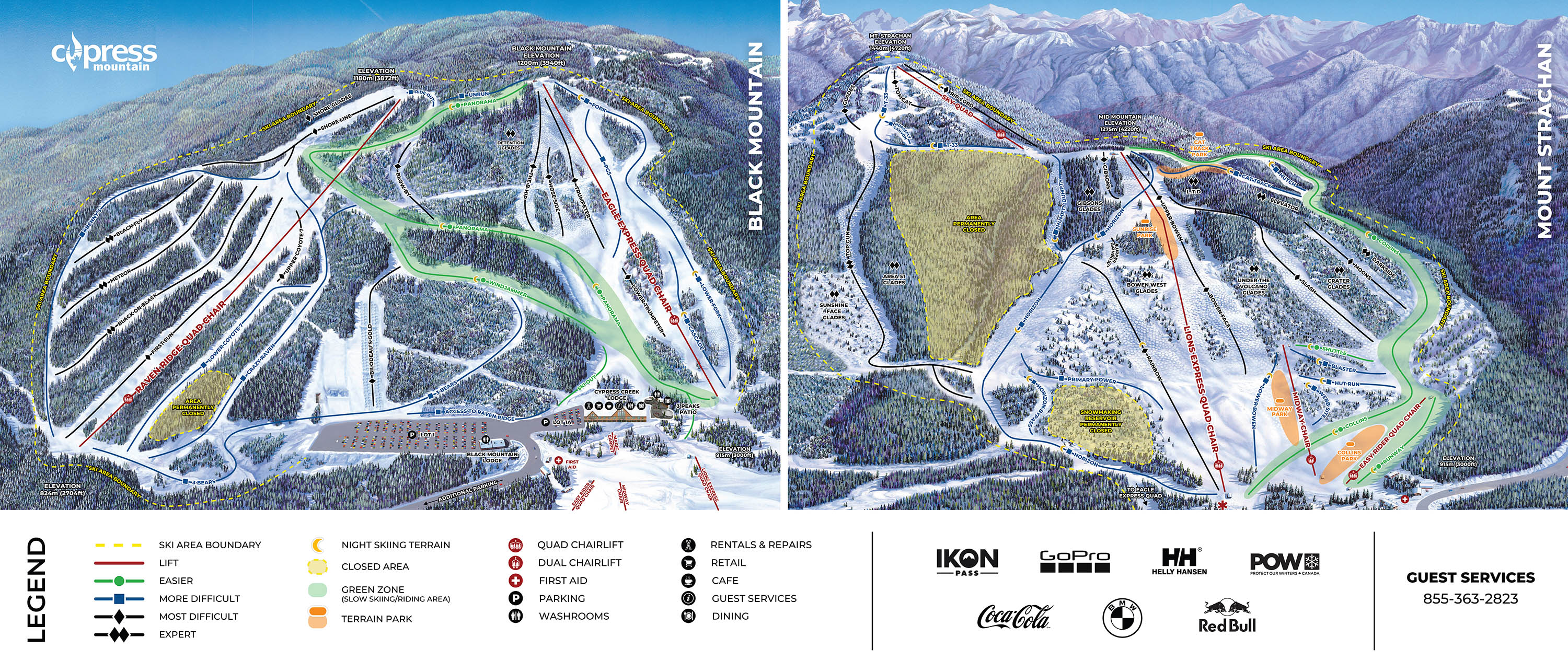
Mapa 3D beta
Muestra tu ubicación en la montaña
Desnivel: 602 m de desnivelBase 824 · Cima 1,426 m#225 de 318 en status.live
Nieve y pronóstico de Cypress Mountain
La nieve es una estimación del modelo, no una medición.
- Hoy17Nublado4°1°
- Mañana18Nublado6°1°
- jue19Nublado5°-1°
- vie20Niebla2°-1°
- sáb21Llovizna ligera33%4°-1°
- dom22Nieve ligera6 cm1°-2°Nieve hasta la base
- lun23Mayormente despejado35%3°-2°
- mar24Llovizna ligera1 cm1°-1°
- mié25Lluvia ligera11 cm1°0°Nieve hasta la base
- jue26Niebla75%1°-2°
Fuente: Open-Meteo (CC BY 4.0), pronóstico del modelo; temperatura y tiempo en la base, 824 m, nieve en la parte alta, 1,426 m.
Carreteras
comprobado 4:20 AM- Highway 1no closures or conditions reported
- Highway 99closed · Tree pruning from Highway 99, In West Vancouver and Exit 2 to In West Vancouver and Pasco Road/Horseshoe Bay Drive. Starting 8:00 AM PCT on Tuesday November 17, 2026 until 4:00 PM PCT on Wednesday November 18, 2026. From 8:00 AM to 4:00 PM PCT, Tuesday and Wednesday. Road closure. Detour in effect.
Fuente: DriveBC
Remontes de Cypress Mountain
Ahora no hay remontes listados. Eso no significa que todos estén cerrados.
Acerca de
Cypress Mountain is a ski area in West Vancouver, British Columbia, Canada, located in the southern section of Cypress Provincial Park, operated under a BC Parks Park Use Permit.
More about Cypress Mountain
The ski resort is a 30-minute drive north of downtown Vancouver, and has 53 named alpine ski runs (many accessible for night skiing) and 19 km of cross country trails. Snowshoeing tours are also popular. Snow schools and rentals, Cypress Creek Grill, Gold Medal Cafe and Crazy Raven Bar and Grill and a Big Bear Sports retail shop are also located on the premises in the Cypress Creek Lodge.
Cypress Mountain hosted the Freestyle Skiing and Snowboarding events of the 2010 Winter Olympics, including SkiCross as a demonstration sport, and the first running of Snowboardcross as a Medal sport.
The ski area's downhill runs are built on two mountains (Mount Strachan strawn – 1,440 metres (4,720 ft) and Black Mountain – 1,200 metres (3,900 ft), on a vertical rise of 610 metres (2,000 ft).
The resort is legally known as Cypress Bowl Recreational Limited Partnership, previously owned by Boyne Resorts, then sold to CNL Income Properties, then Och-Ziff Capital Management, but Boyne Canada has continued to run the ski operation for several years under a lease-back agreement. Boyne repurchased the resort in March 2018.
The ski resort name Cypress Mountain is derived from the name of the bowl between the three mountains, Mount Strachan, Black Mountain, and Hollyburn Mountain – "Cypress Bowl", which was the original and still-used common name of the resort (the facilities by Cypress Bowl Recreations Ltd.). The term cypress comes from the yellow cedar tree Cupressus nootkatensis which is common in the park at altitudes over 800 metres, and is also known as yellow cypress, as well as from the name of the park in which the ski operation is located.
Despite the resort name, there is in fact no mountain named Cypress Mountain in the park.
De Wikipedia: Cypress Mountain Ski Area, CC BY-SA 4.0.
Dominio esquiable
- Verde 6.7 km
- Azul 12 km
- Negra 7.0 km
- Otros 0.7 km
Calculado con las pistas y remontes de OpenStreetMap, mediante OpenSkiMap; © colaboradores de OpenStreetMap. Cada estación cuenta de manera diferente; sus cifras pueden variar.
Cámaras de carreteras y cercanas
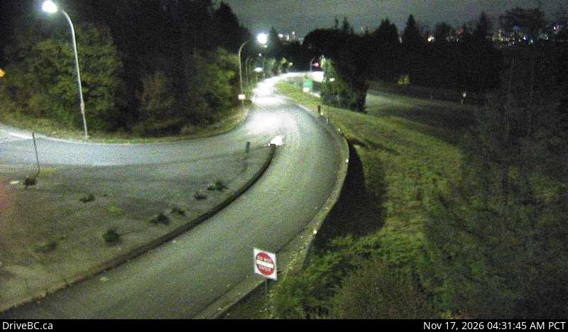
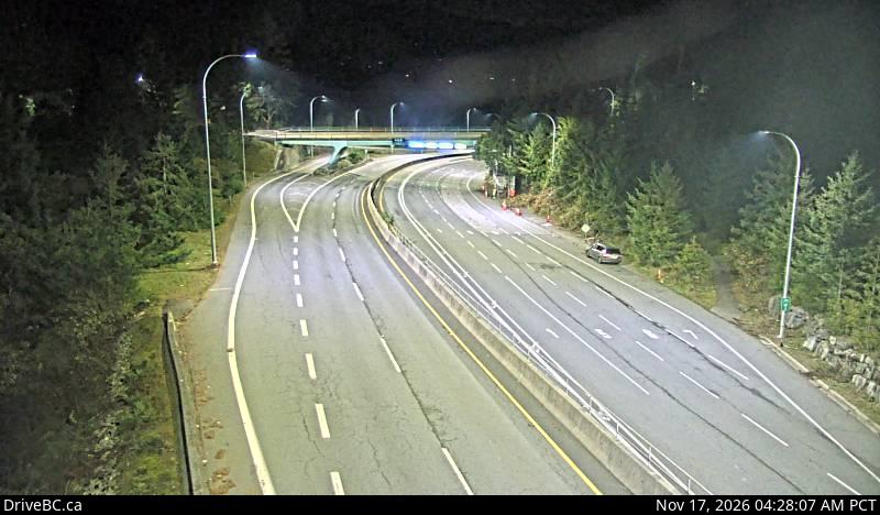
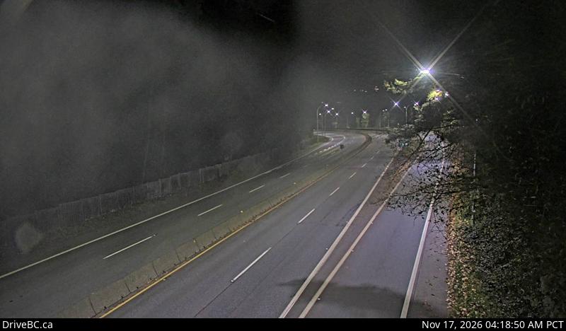
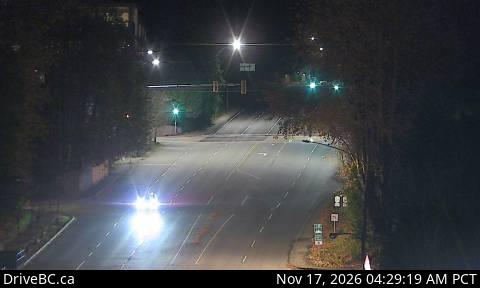
DriveBC (Open Government Licence – British Columbia)
Cómo llegar
Estaciones cercanas
Pregunta a Claude o ChatGPT «¿Está abierto Cypress Mountain hoy?» con status.live conectado. Cómo conectarlo