Kimberley
None of 5 lifts running right now
Most on Sun 22, 1 cm · Upper mountain · Full forecast
Checked at 5:13 AM · 5:13 AM local time · from skikimberley.com
Kimberley webcams
2 · swipeMap
Maps
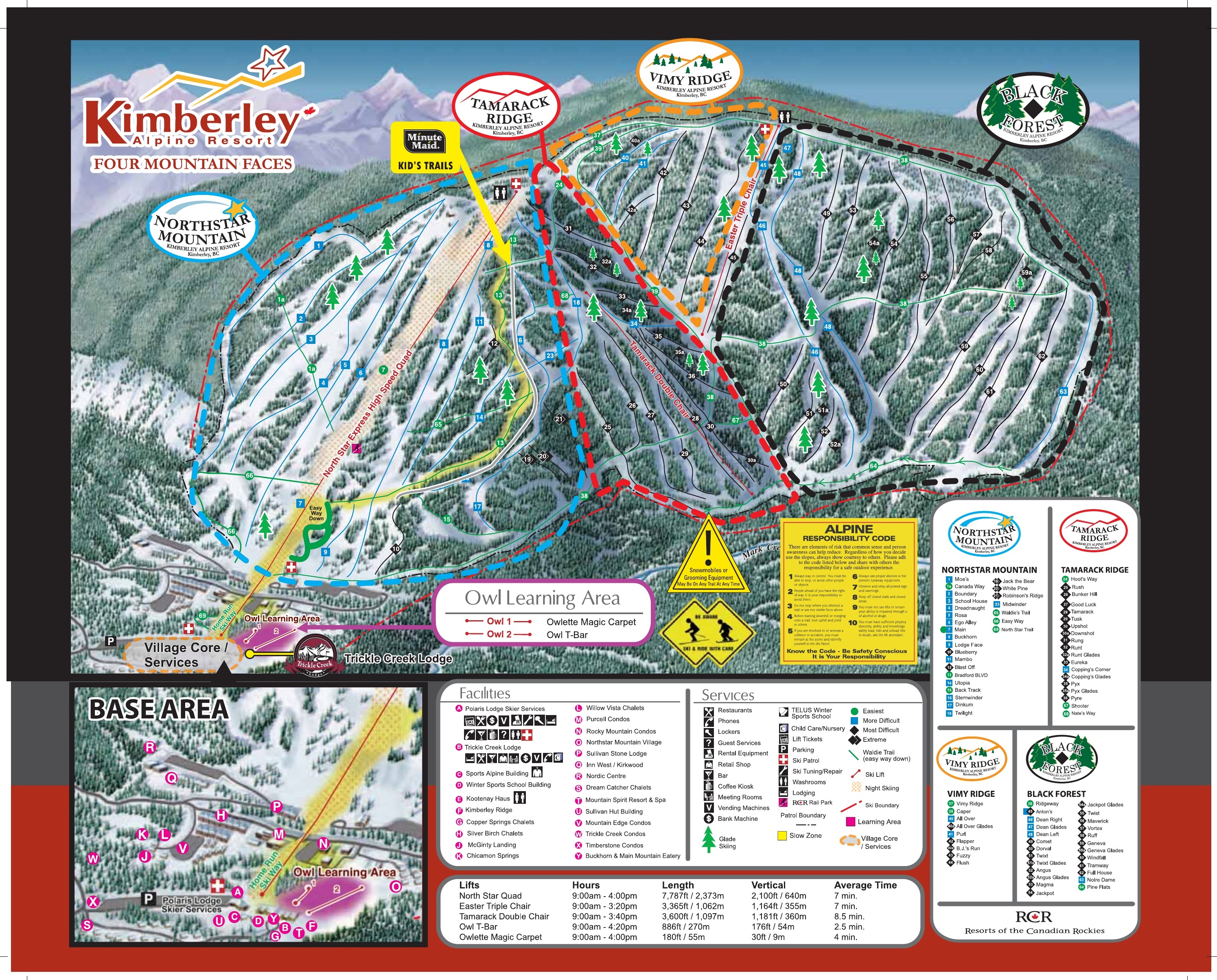
3D map beta
Shows where you are on the mountain
Vertical drop: 670 m verticalBase 1,234 · Top 1,904 m#203 of 318 on status.live
Kimberley snow report and forecast
Snow is a model estimate, not measured.
- Sun15Cloudy37%8°0°
- Mon16Light drizzle26%6°0°
- Today17Cloudy5°-2°
- Tomorrow18Cloudy3°-3°
- Thu19Cloudy1°-4°
- Fri20Cloudy1°-6°
- Sat21Cloudy-2°-6°
- Sun22Light snow1 cm0°-5°
- Mon23Light snow-1°-6°
- Tue24Light drizzle-2°-7°
Source: Open-Meteo (CC BY 4.0), model forecast; temperatures and conditions are for the base, 1,234 m, snow for the upper mountain, 1,904 m.
Roads
checked 5:20 AM- Highway 95Ano closures or conditions reported
- Highway 95no closures or conditions reported
Source: DriveBC
Kimberley lift status
1,234 m–1,904 mAll 5 lifts closedShow
- North StarClosed
- EasterClosed
- TamarackClosed
- Owl TBarClosed
- Owlette Magic CarpetClosed
Source: skikimberley.com, the resort's own lift board, checked every few minutes.
About
Kimberley Alpine Resort is a ski resort in southwestern Canada, located in Kimberley, British Columbia.
More about Kimberley
In the Purcell Mountains on the northeast face of North Star Hill, Kimberley's vertical drop is 751 m (2,464 ft) with a summit elevation of 1,982 m (6,503 ft) above sea level. The ski season commonly starts in mid-December and runs until early April.
The resort maintains 80 runs (with 20% beginner, 42% intermediate, and 38% advanced trails) and five lifts: a high-speed quad chairlift (the North Star Express), a triple chair (the Easter), a double chair (the Tamarack), a T-bar (the Owl) and a magic carpet, leading to an hourly lift capacity of 6,452.
The ski area opened in 1948 as North Star with a 245-metre-long (800 ft) rope tow; a T-bar installed a decade later was over 1.8 km (1.1 mi) in length, vertically climbing 460 m (1,500 ft) in eleven minutes.
The ski resort is operated by Resorts of the Canadian Rockies
From Wikipedia: Kimberley Alpine Resort, CC BY-SA 4.0.
Ski area
Figures for the ski area as mapped: Kimberley Alpine Resort.
- Green 19 km
- Blue 22 km
- Black 19 km
Counted from the runs and lifts mapped in OpenStreetMap, by OpenSkiMap; © OpenStreetMap contributors. Resorts count their own way (trails, acres), so their figures can differ.
Road and nearby webcams
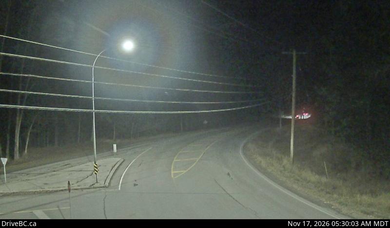
DriveBC (Open Government Licence – British Columbia)
Getting there
Nearby resorts
Ask Claude or ChatGPT "Is Kimberley open today?" with status.live connected. How to connect