Lake Louise
Impossible de joindre le tableau des remontées de la station
Maximum le dim. 22, 1 cm · Haut du domaine · Prévisions complètes
We couldn't read the resort's lift board; it last listed lifts on Nov 17. That doesn't mean the lifts are closed.
Vérifié à 6:26 AM · 6:26 AM heure locale · depuis skilouise.com
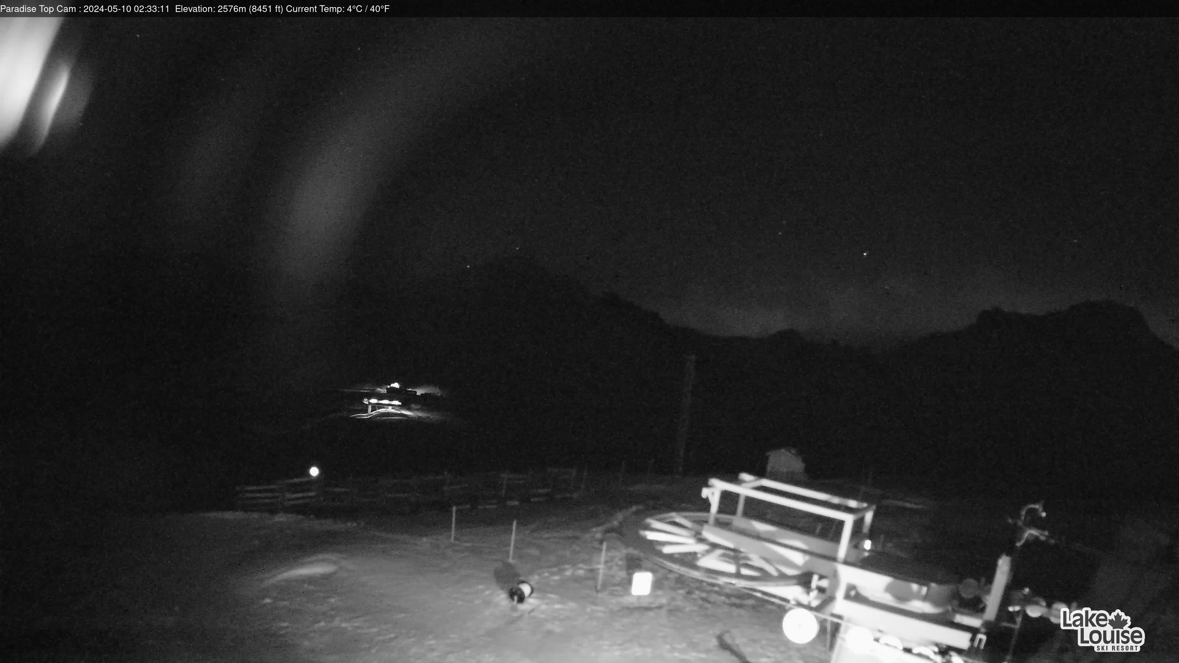
Webcams de Lake Louise
8 · balayer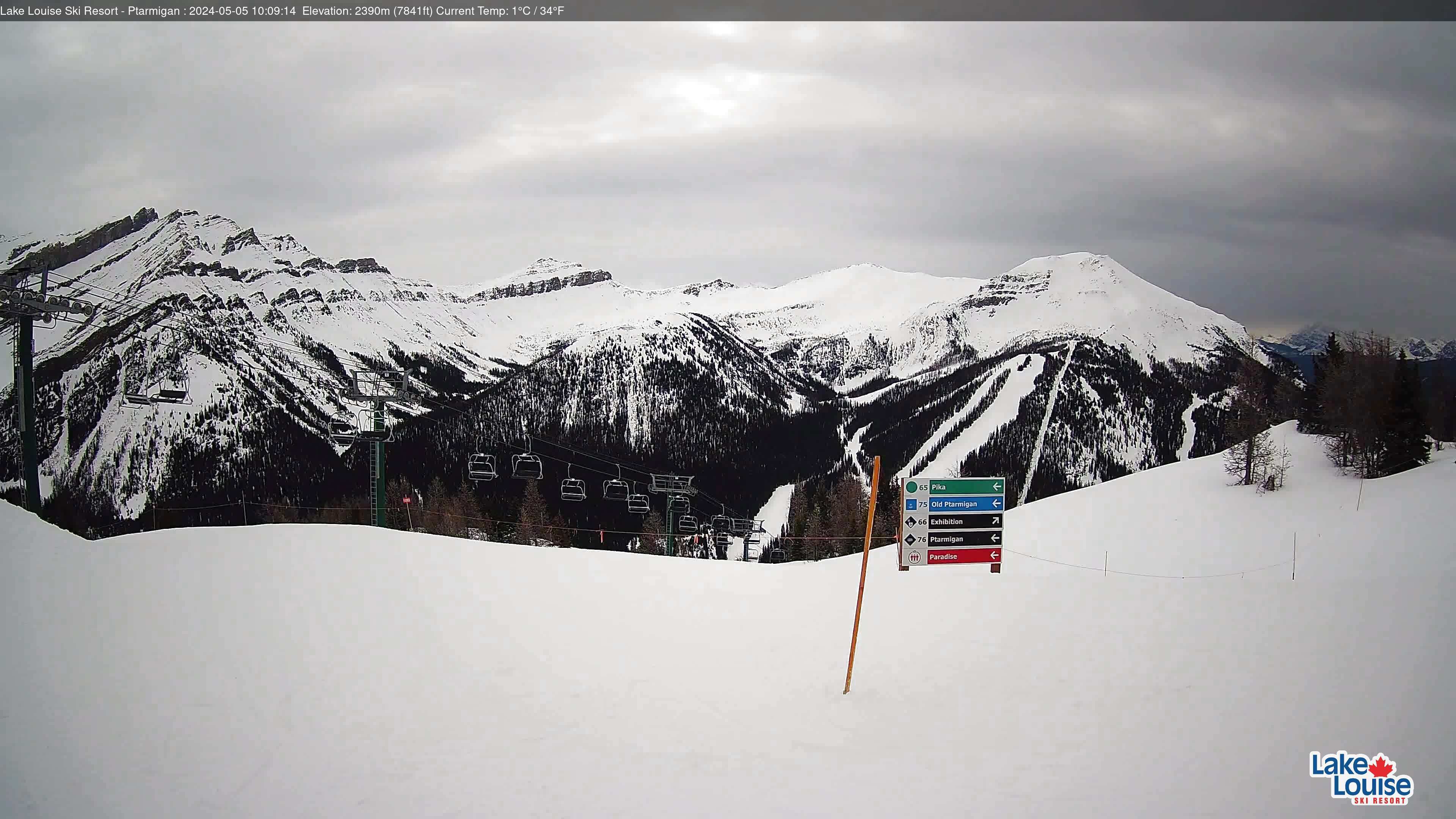


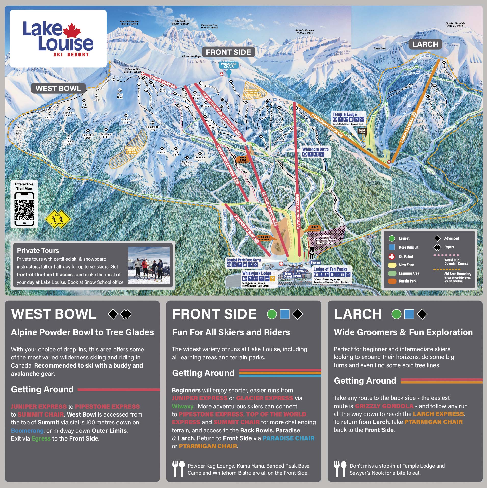
Carte
Cartes
Carte 3D bêta
Indique votre position sur la montagne
Dénivelé : 996 m de déniveléBas 1,647 · Sommet 2,643 m#129 sur 318 sur status.live
Remontées de Lake Louise
État des remontées inconnu actuellement.
Routes
vérifié 6:20 AM- Hwy 1undefined · covered snow, shoulder ice/snow, snowing, icy sections, slippery (Taylor to Lake Louise)
- Hwy 93undefined · covered snow, shoulder ice/snow, snowing, icy sections, slippery (Jct Hwy 1 to Saskatchewan River Crossing)
Source : 511 Alberta
À propos
The Lake Louise Ski Resort & Summer Gondola is a ski resort in western Canada, located in Banff National Park near the village of Lake Louise, Alberta.
More about Lake Louise
Located 57 km (35 mi) west of Banff, Lake Louise is one of three major ski resorts within Banff National Park, with the other two being Banff Sunshine and Mt. Norquay Ski Resort.
The resort is situated on the southern slopes of the Slate Range, with most of its skiable terrain on the slopes of Whitehorn Mountain, with additional skiable terrain to the east on the lower western slope of Lipalian Mountain. The overall ski area is between the heights of Mount Richardson, Ptarmigan Peak, Pika Peak and Redoubt Mountain, all around 3,000 m (10,000 ft) above sea level. The base of the slopes is defined by Pipestone River, a tributary of the Bow River, immediately north of the intersections between Highway 1A (Bow Valley Trail), Highway 1 (Trans-Canada Highway), and Highway 93 (Icefields Parkway).
Depuis Wikipédia : Lake Louise Ski Resort, CC BY-SA 4.0.
Domaine skiable
Figures for the ski area as mapped: Lake Louise Ski Area.
- Verte 29 km
- Bleue 22 km
- Noire 28 km
- Autres 0.8 km
Calculé à partir des pistes et remontées cartographiées dans OpenStreetMap, via OpenSkiMap; © contributeurs OpenStreetMap. Les stations utilisent leurs propres méthodes de comptage ; leurs chiffres peuvent varier.
Neige et météo à Lake Louise
La neige est estimée par un modèle, non mesurée.
- Aujourd’hui17Nuageux-2°-10°
- Demain18Nuageux-4°-11°
- jeu.19Nuageux-1°-11°
- ven.20Nuageux-3°-13°
- sam.21Neige légère-5°-13°
- dim.22Neige légère1 cm-5°-13°
- lun.23Neige légère-4°-11°
- mar.24Neige légère-6°-13°
- mer.25Brouillard-5°-16°
- jeu.26Brouillard-4°-12°
Source : Open-Meteo (CC BY 4.0), prévision du modèle ; température et météo pour le bas, 1,647 m, neige pour le haut du domaine, 2,643 m.
Webcams des routes et alentours
511 Alberta
Comment venir
Stations proches
Demandez à Claude ou ChatGPT « Lake Louise est-elle ouverte aujourd’hui ? » avec status.live connecté. Comment connecter