Sasquatch Mountain
Aucune des 5 remontées ouverte actuellement
Maximum le mer. 25, 13 cm · Neige jusqu’en bas · Haut du domaine · Prévisions complètes
Vérifié à 4:50 AM · 4:50 AM heure locale · depuis sasquatchmountain.ca
Webcams de Sasquatch Mountain
4 · balayerCarte
Cartes
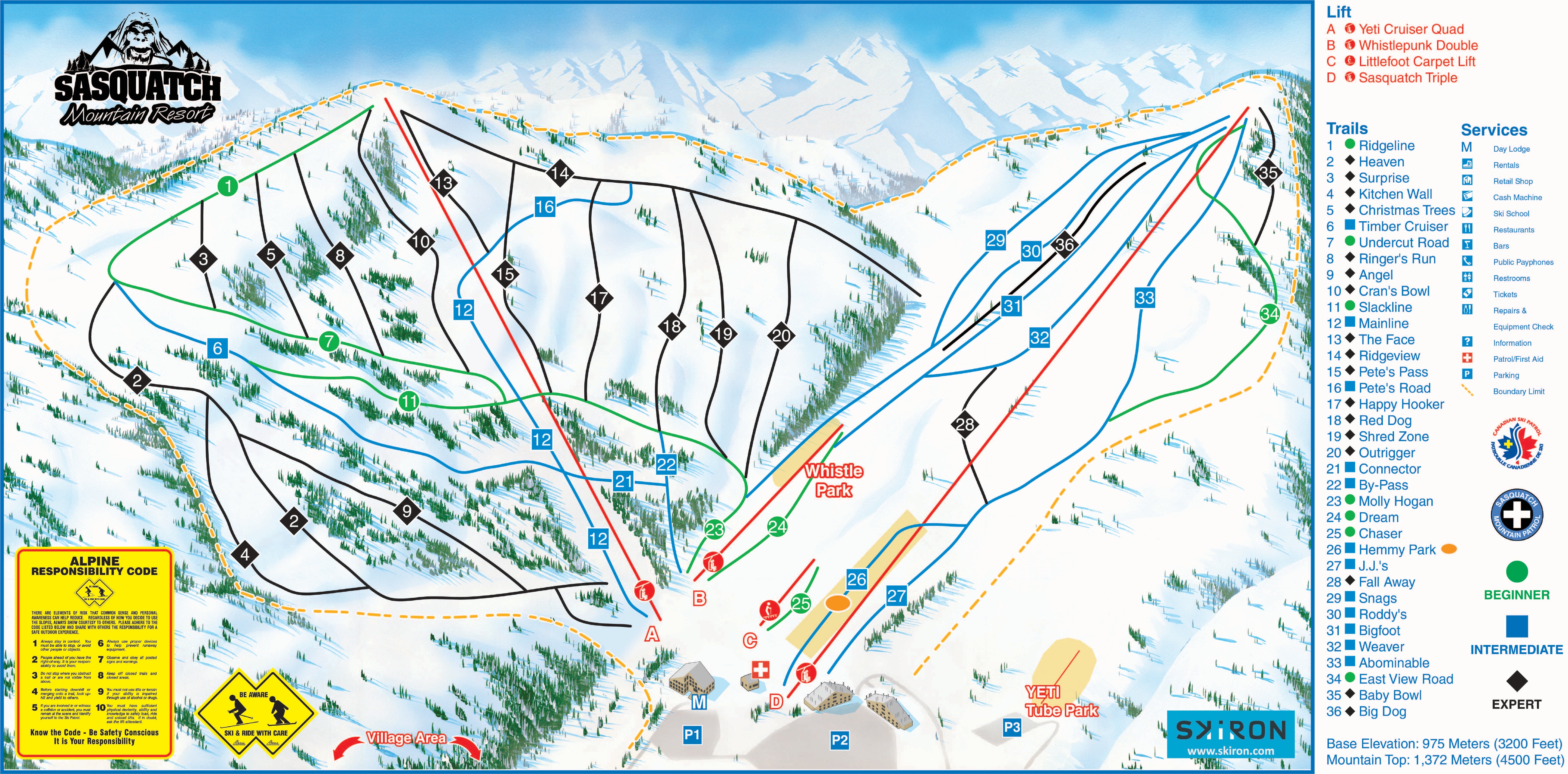
Carte 3D bêta
Indique votre position sur la montagne
Dénivelé : 341 m de déniveléBas 975 · Sommet 1,316 m#280 sur 318 sur status.live
Neige et météo à Sasquatch Mountain
La neige est estimée par un modèle, non mesurée.
- Aujourd’hui17Nuageux4°-1°
- Demain18Nuageux4°-1°
- jeu.19Nuageux5°-3°
- ven.20Neige légère2°-3°
- sam.21Brouillard20%3°-3°
- dim.22Neige légère1 cm0°-3°
- lun.23Plutôt dégagé23%4°-4°
- mar.24Bruine légère1 cm1°-4°
- mer.25Forte neige13 cm0°-3°Neige jusqu’en bas
- jeu.26Neige légère4 cm-1°-4°Neige jusqu’en bas
Source : Open-Meteo (CC BY 4.0), prévision du modèle ; température et météo pour le bas, 975 m, neige pour le haut du domaine, 1,316 m.
Routes
vérifié 4:53 AM- Highway 7no closures or conditions reported
Source : DriveBC
Remontées de Sasquatch Mountain
975 m–1,316 m5 remontées ferméesAfficher
- new object by hemlock_resortFermé
- B- Whistlepunk DoubleFermé
- D- Sasquatch TripleFermé
- A- Yeti Cruiser QuadFermé
- Littlefoot Carpet LiftFermé
Source : sasquatchmountain.ca, tableau des remontées de la station, vérifié toutes les quelques minutes.
À propos
Sasquatch Mountain Resort is a small ski resort in the Douglas Ranges approximately 22.5 km (15 mi) north of Harrison Mills. Located in Hemlock Valley.
More about Sasquatch Mountain
Previously known as Hemlock Valley Resort, the resort closed due to bankruptcy receivership in 2005. In 2006, the resort was purchased by Berezan Hospitality Group and reopened in December 2006. Shortly thereafter, the resort started negotiations with local First Nations and the province of BC for a substantial expansion that would see the resort become the largest resort facility in the Lower Mainland of BC.
The resort proposal includes ski area expansion to 18 lift-serviced areas, 2 golf courses, a marina on Harrison Lake, and associated residential and commercial development. The plan was in the final stages of approval, and a formal agreement was expected to be announced in 2014. The resort did not open in the 2014/2015 season, due to a lack of snow.
The average annual snowfall at Hemlock Valley is 30–35 ft. The vertical drop is 335 m (1,099 ft) from a summit elevation of 1,317 m (4,321 ft) to a base elevation of 980 m (3,220 ft). The area comprises 121 hectares (300 acres) and has 34 runs, the longest of which is 1.4 miles (2.3 km). The area has four lifts: one quad chair, one triple chair, one double chair, and a beginner magic carpet. It also features night skiing and 13 kilometres of cross-country skiing trails, as well as an 8-lane tubing and tobogganing area with a magic carpet.
Depuis Wikipédia : Sasquatch Mountain Resort, CC BY-SA 4.0.
Domaine skiable
Figures for the ski area as mapped: Sasquatch Mountain Resort.
- Verte 4.7 km
- Bleue 6.4 km
- Noire 6.3 km
- Autres 0.5 km
Calculé à partir des pistes et remontées cartographiées dans OpenStreetMap, via OpenSkiMap; © contributeurs OpenStreetMap. Les stations utilisent leurs propres méthodes de comptage ; leurs chiffres peuvent varier.
Webcams des routes et alentours
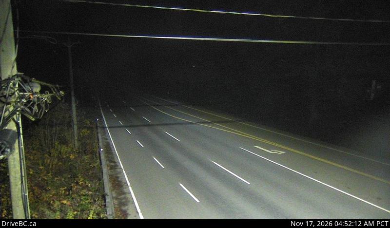
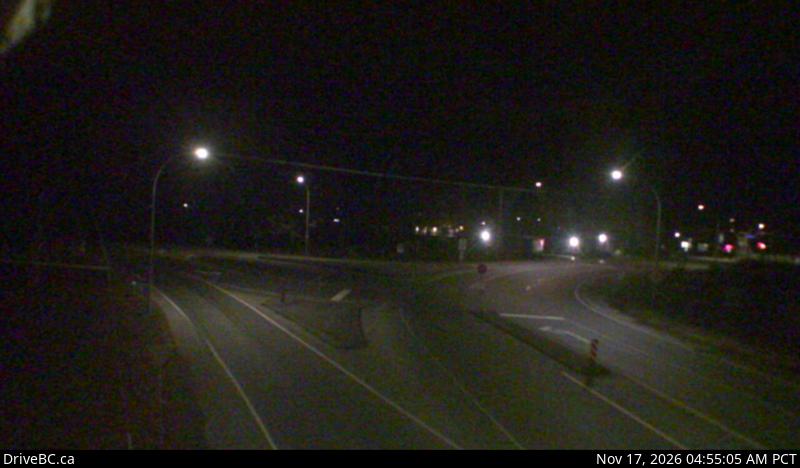
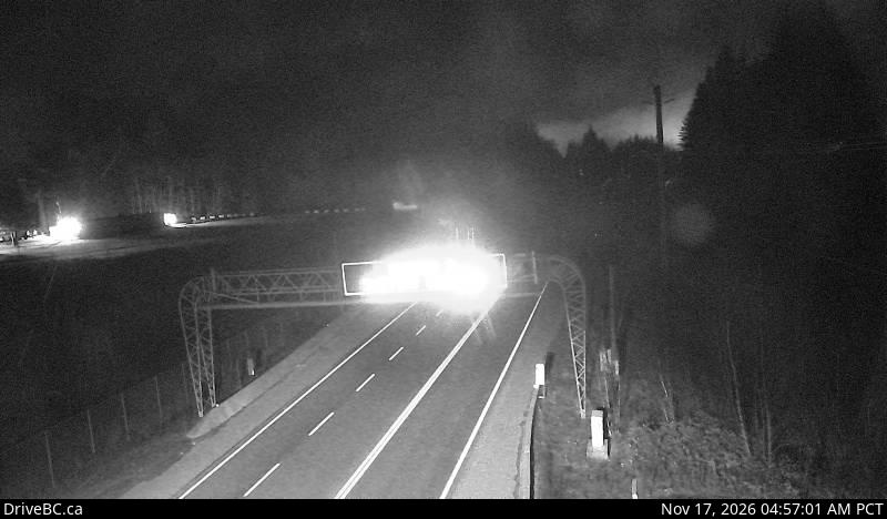
DriveBC (Open Government Licence – British Columbia)
Comment venir
Stations proches
Demandez à Claude ou ChatGPT « Sasquatch Mountain est-elle ouverte aujourd’hui ? » avec status.live connecté. Comment connecter