Lake Louise
4 of 13 lifts running
Most on Thu 26 and Sun 29, 2 cm · Snow to the base · Upper mountain
- Today22Cloudy-5°-16°
- Tomorrow23Cloudy-5°-12°
- Tue24Light snow-1°-11°
Daily forecast · 7 more days
- Wed25Light snow1 cm-1°-8°
- Thu26Snow2 cm0°-5°Snow to the base
- Fri27Light snow1 cm0°-5°
- Sat28Light snow1 cm1°-6°
- Sun29Snow2 cm2°-1°Snow to the base
- Mon30Cloudy21% chance-1°-3°
- Tue1Light snow-1°-5°
Forecast: Open-Meteo (CC BY 4.0) · snow depth: skilouise.com
Checked at 4:34 PM · 4:34 PM local time · from skilouise.com
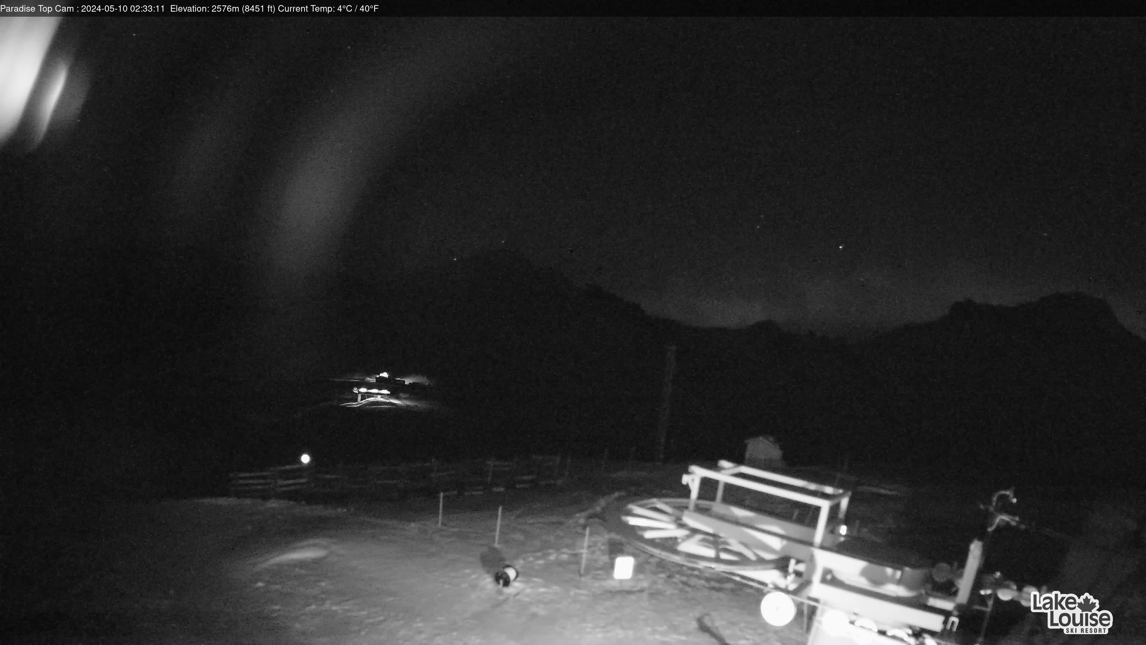
Lake Louise webcams
8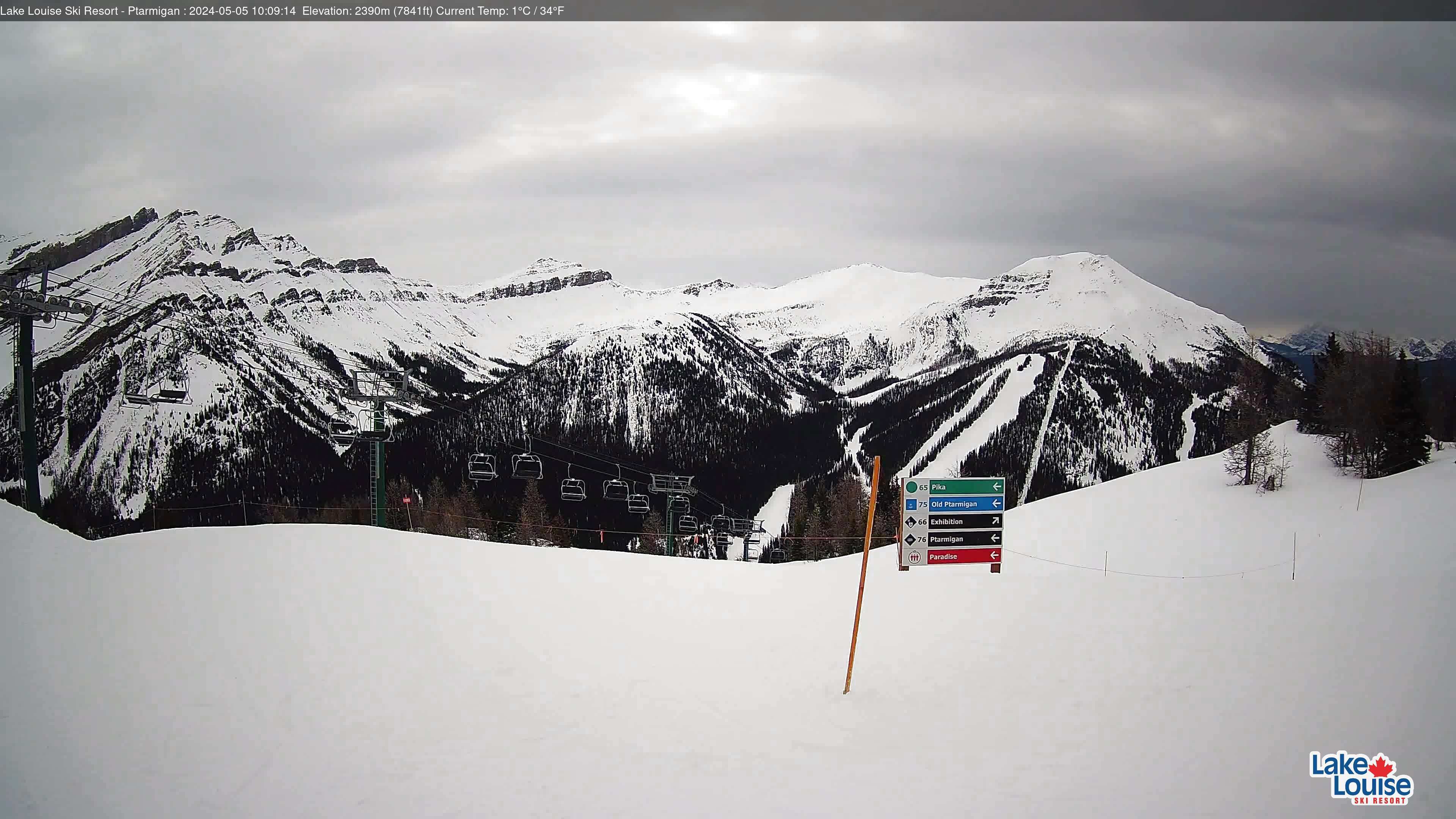


Map
Maps
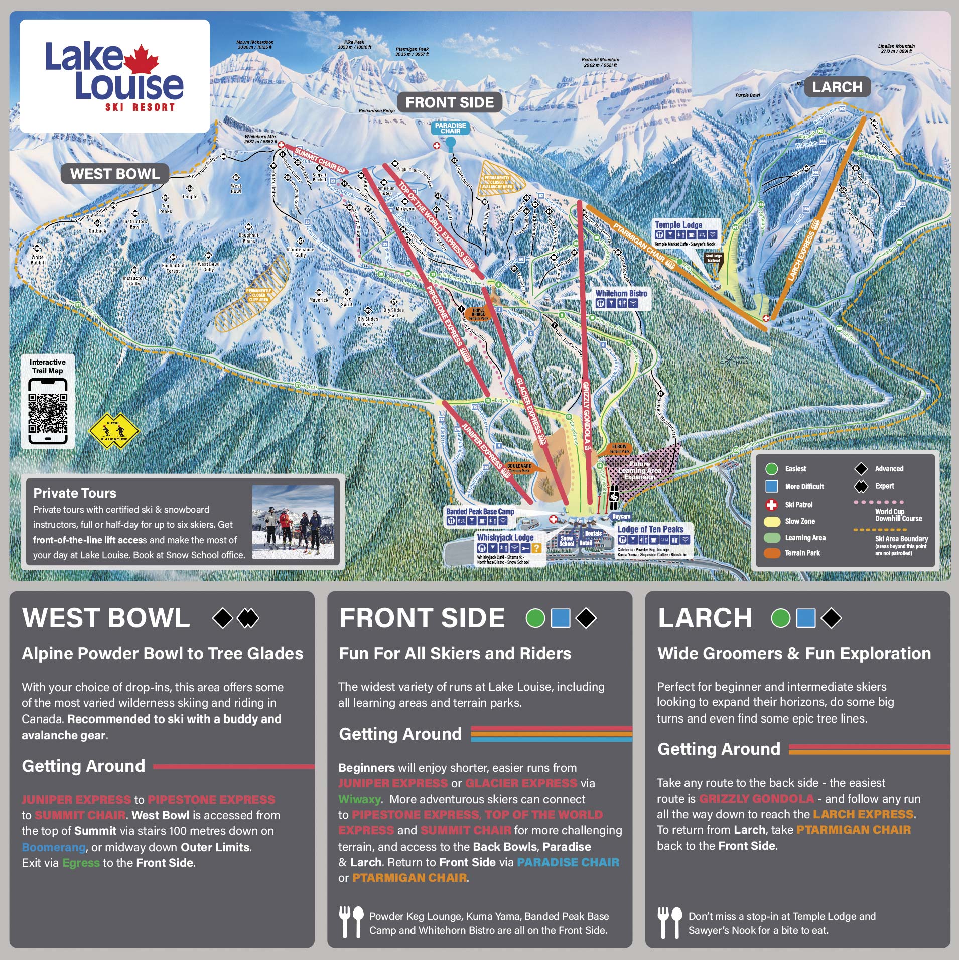
3D map beta
Shows where you are on the mountain
Vertical drop: 996 m verticalBase 1,647 · Top 2,643 m#129 of 318 on status.live
Getting there
- Hwy 1bare dry
- Hwy 93bare wet, shoulder ice/snow, slippery
Road and nearby webcams2
Source: 511 Alberta, checked 4:31 PM
Lake Louise lift status
4 of 13 openOpen · 4
- Magic CarpetOpen
- Glacier ExpressOpen
- Grizzly GondolaOpen
- Juniper ExpressOpen
9 closedShow
- Lower Sunny CarpetClosed
- Upper Sunny CarpetClosed
- Top of the WorldClosed
- Summit ChairClosed
- Pipestone Express ChairClosed
- ParadiseClosed
- PtarmiganClosed
- Larch ExpressClosed
- Richardson's Ridge ExpressClosed
Source: skilouise.com, the resort's own lift board, checked every few minutes.
About Lake Louise
History, runs and liftsShow
About
The Lake Louise Ski Resort & Summer Gondola is a ski resort in western Canada, located in Banff National Park near the village of Lake Louise, Alberta.
More about Lake Louise
Located 57 km (35 mi) west of Banff, Lake Louise is one of three major ski resorts within Banff National Park, with the other two being Banff Sunshine and Mt. Norquay Ski Resort.
The resort is situated on the southern slopes of the Slate Range, with most of its skiable terrain on the slopes of Whitehorn Mountain, with additional skiable terrain to the east on the lower western slope of Lipalian Mountain. The overall ski area is between the heights of Mount Richardson, Ptarmigan Peak, Pika Peak and Redoubt Mountain, all around 3,000 m (10,000 ft) above sea level. The base of the slopes is defined by Pipestone River, a tributary of the Bow River, immediately north of the intersections between Highway 1A (Bow Valley Trail), Highway 1 (Trans-Canada Highway), and Highway 93 (Icefields Parkway).
From Wikipedia: Lake Louise Ski Resort, CC BY-SA 4.0.
Ski area
Figures for the ski area as mapped: Lake Louise Ski Area.
- Green 29 km
- Blue 22 km
- Black 28 km
- Other 0.8 km
Counted from the runs and lifts mapped in OpenStreetMap, by OpenSkiMap; © OpenStreetMap contributors. Resorts count their own way (trails, acres), so their figures can differ.
Reviews
No reviews yet.
Nearby resorts
Ask Claude or ChatGPT "Is Lake Louise open today?" with status.live connected. How to connect