Perisher
None of 45 lifts running right now
Snow to the base · Upper mountain · Full forecast
Checked at 10:54 PM · 10:54 PM local time · from perisher.com.au
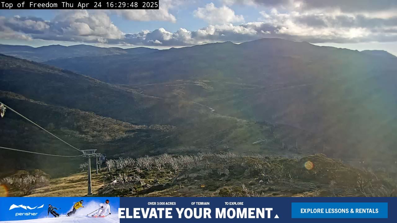
Perisher webcams
6 · swipe
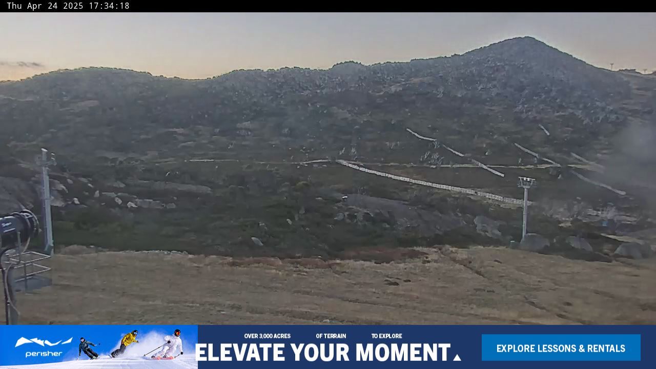
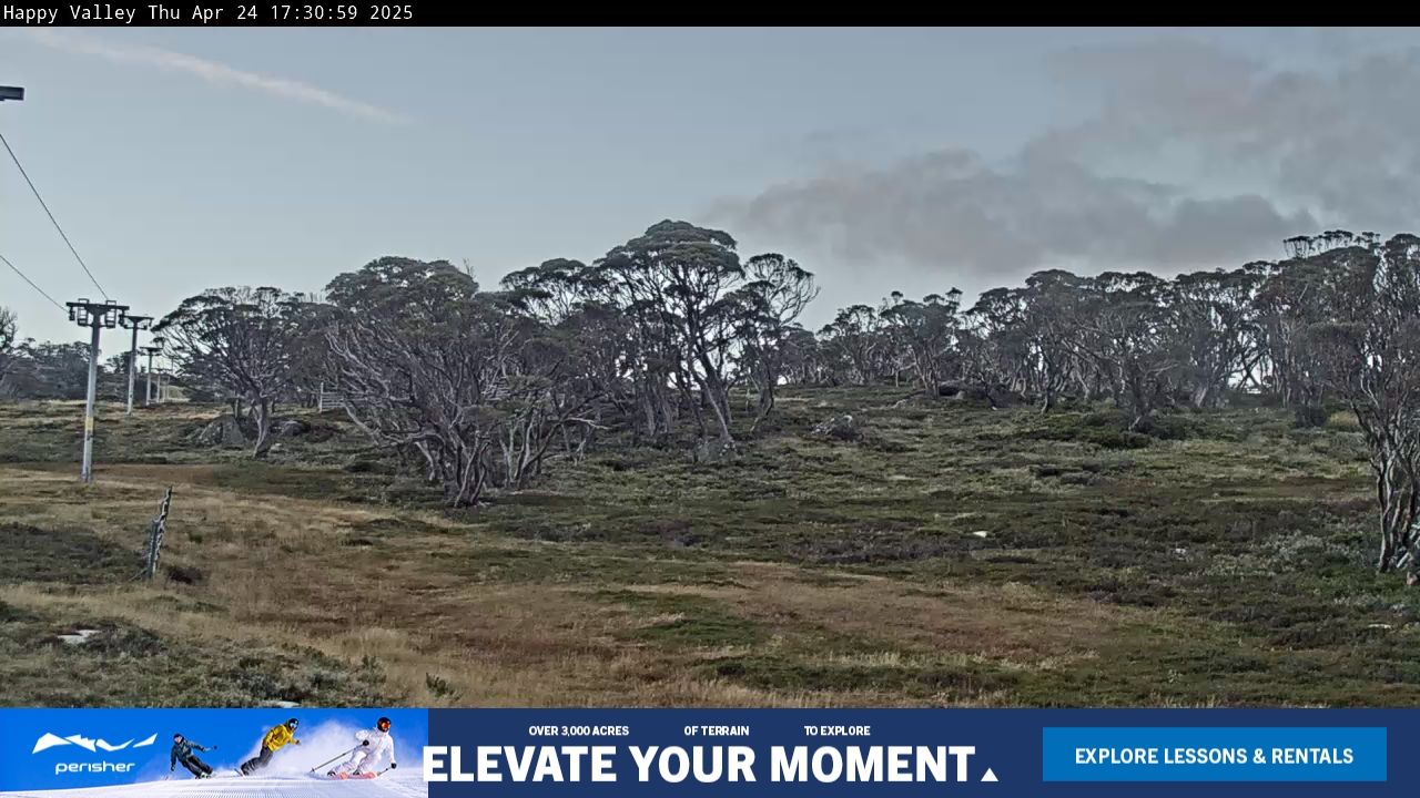
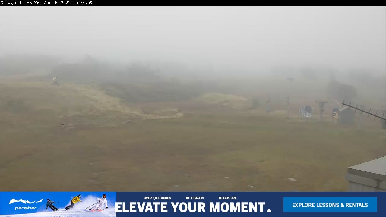
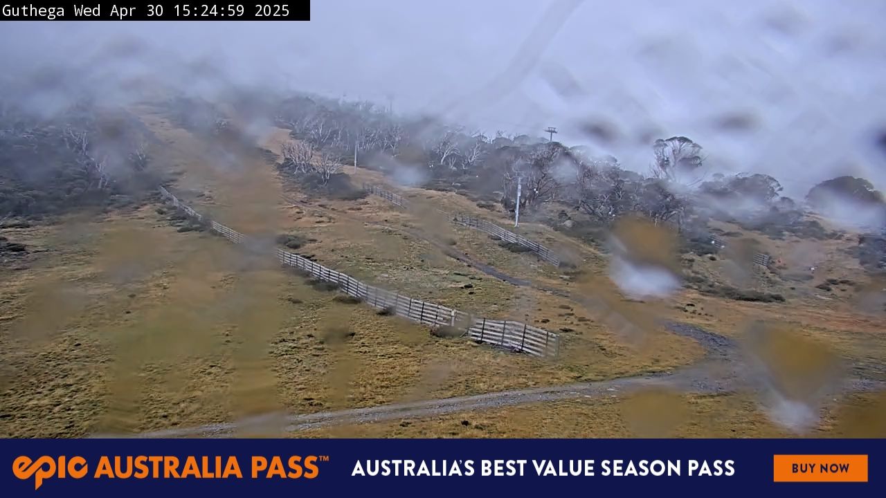
Map
Vertical drop: 433 m verticalBase 1,604 · Top 2,037 m#264 of 318 on status.live
Perisher snow report and forecast
Snow is a model estimate, not measured.
- Today17Drizzle29%17°1°
- Tomorrow18Drizzle70%19°5°
- Thu19Drizzle43%19°8°Rain even up top
- Fri20Heavy drizzle95%15°10°Rain even up top
- Sat21Heavy drizzle75%18°9°Rain even up top
- Sun22Light drizzle49%19°9°
- Mon23Rain showers86%13°-1°Rain even up top
- Tue24Light drizzle33%14°-1°
- Wed25Light drizzle36%15°2°
- Thu26Light drizzle38%17°5°
Source: Open-Meteo (CC BY 4.0), model forecast; temperatures and conditions are for the base, 1,604 m, snow for the upper mountain, 2,037 m.
Perisher lift status
1,604 m–2,037 mAll 45 lifts closedShow
- Mt Perisher 6Closed
- Eyre T-BarClosed
- International T-BarClosed
- Sun Valley T-BarClosed
- Olympic T-BarClosed
- Happy Valley T-BarClosed
- Leichhardt Quad ChairClosed
- Home Rope TowClosed
- Lawson T-BarClosed
- Blaxland T-BarClosed
- Wentworth T-BarClosed
- Quad ExpressClosed
- Sturt T-BarClosed
- Village 8 Express ChairClosed
- Mitchell T-BarClosed
- Telemark T-BarClosed
- Pretty Valley Double ChairClosed
- North Perisher T-BarClosed
- Interceptor Quad ChairClosed
- Possum ConveyorClosed
- Wallaby ConveyorClosed
- Front Valley ConveyorClosed
- Echidna ConveyorClosed
- Piper T-BarClosed
- Link T-BarClosed
- Burke T-BarClosed
- Wills T-BarClosed
- Kaaten Triple ChairClosed
- Hume T-BarClosed
- Captain Cook J-BarClosed
- Scott J-BarClosed
- Zoe's ConveyorClosed
- Harry's & Herman's ConveyorClosed
- Ridge Quad Chair (Mogul training only)Closed
- Summit Quad ChairClosed
- Pony ConveyorClosed
- Early Starter Double ChairClosed
- Terminal Quad ChairClosed
- Brumby T-BarClosed
- Blue Cow Ski School Rope TowClosed
- Pleasant Valley Quad ChairClosed
- Freedom Quad ChairClosed
- Blue Cow T-Bar, Access to Blue Cow onlyClosed
- Blue Calf T-BarClosed
- Carpark Double Chair, Access to Blue Cow onlyClosed
Source: perisher.com.au, the resort's own lift board, checked every few minutes.
About
Perisher Ski Resort (known as Perisher Blue until 2009) is the largest ski resort in the Southern Hemisphere.
More about Perisher
Located in the Australian Snowy Mountains, the resort is an amalgamation of four villages (Perisher Valley, Smiggin Holes, Guthega, and Blue Cow) and their associated ski fields, covering approximately 12 square kilometres (5 sq mi), with the base elevation at 1,720 metres (5,640 ft) AHD, and the summit elevation of 2,054 metres (6,739 ft) at the top of Mount Perisher. 4.4 square kilometres (1.7 sq mi) of this area is covered by 240 snow guns, which are used to artificially supplement the natural snowfall. Perisher was acquired by Vail Resorts, United States on 30 March 2015 for a sum of approximately AU$177 million.
The resort is accessible by road from Jindabyne and the Skitube, Australia's only underground rack railway from Bullocks Flat or Blue Cow. The main skiing period is in July and August, with the official season running from the second weekend in June to the first weekend of October. Perisher consists of 45 lifts: The Village Eight Express, an eight-seater chairlift (built in 2003), one high-speed six-seater chairlift, two high-speed quad detachable chairlifts, five fixed-grip quad chairlifts, two double chairlifts, one triple chairlifts, eighteen T-Bars, two J-bars, seven ski carpets, and two rope tows. The run difficulty distribution is 22% beginner, 60% intermediate and 18% advanced.
From Wikipedia: Perisher Ski Resort, CC BY-SA 4.0.
Ski area
- Green 35 km
- Blue 40 km
- Black 7.4 km
- Other 0.7 km
Counted from the runs and lifts mapped in OpenStreetMap, by OpenSkiMap; © OpenStreetMap contributors. Resorts count their own way (trails, acres), so their figures can differ.
Road and nearby webcams
windy.com
Getting there
Nearby resorts
Ask Claude or ChatGPT "Is Perisher open today?" with status.live connected. How to connect