Perisher
Aucune des 45 remontées ouverte actuellement
Neige jusqu’en bas · Haut du domaine · Prévisions complètes
Vérifié à 10:54 PM · 10:54 PM heure locale · depuis perisher.com.au
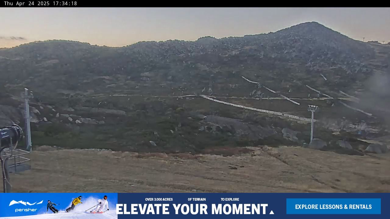
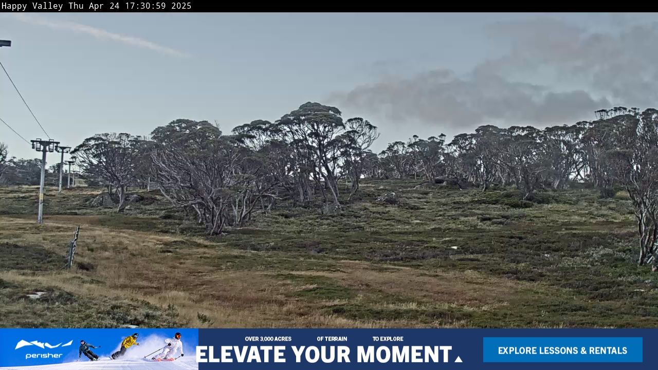
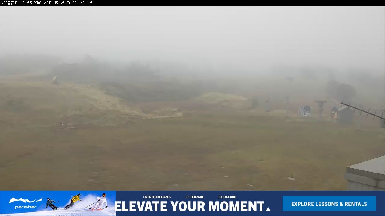
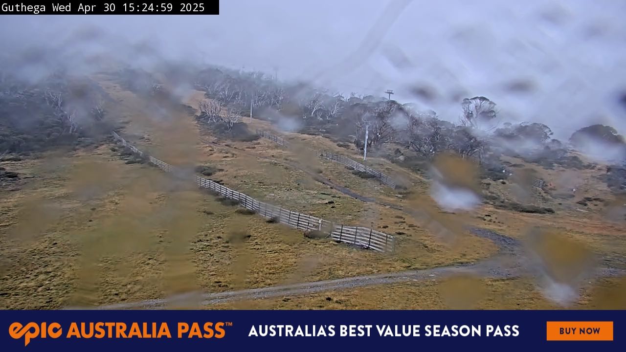
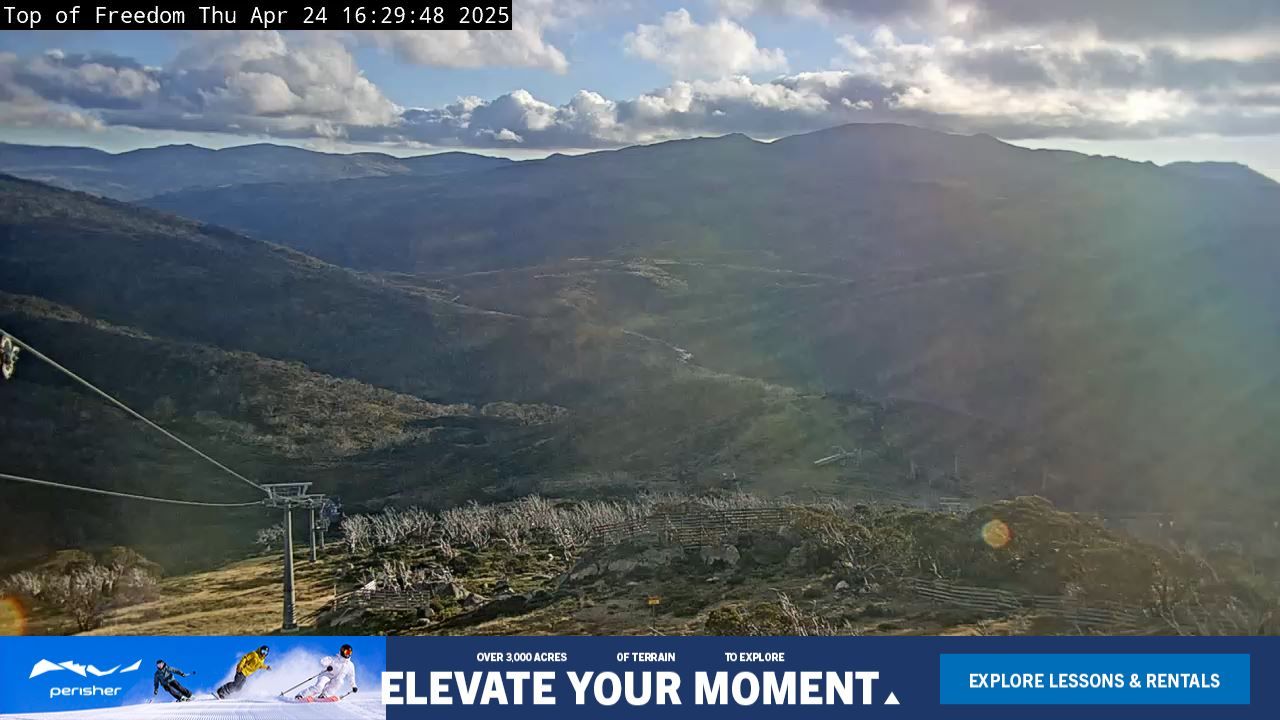
Webcams de Perisher
6 · balayer
Carte
Dénivelé : 433 m de déniveléBas 1,604 · Sommet 2,037 m#264 sur 318 sur status.live
Neige et météo à Perisher
La neige est estimée par un modèle, non mesurée.
- Aujourd’hui17Bruine29%17°1°
- Demain18Bruine70%19°5°
- jeu.19Bruine43%19°8°Pluie même au sommet
- ven.20Forte bruine95%15°10°Pluie même au sommet
- sam.21Forte bruine75%18°9°Pluie même au sommet
- dim.22Bruine légère49%19°9°
- lun.23Averses de pluie86%13°-1°Pluie même au sommet
- mar.24Bruine légère33%14°-1°
- mer.25Bruine légère36%15°2°
- jeu.26Bruine légère38%17°5°
Source : Open-Meteo (CC BY 4.0), prévision du modèle ; température et météo pour le bas, 1,604 m, neige pour le haut du domaine, 2,037 m.
Remontées de Perisher
1,604 m–2,037 m45 remontées ferméesAfficher
- Mt Perisher 6Fermé
- Eyre T-BarFermé
- International T-BarFermé
- Sun Valley T-BarFermé
- Olympic T-BarFermé
- Happy Valley T-BarFermé
- Leichhardt Quad ChairFermé
- Home Rope TowFermé
- Lawson T-BarFermé
- Blaxland T-BarFermé
- Wentworth T-BarFermé
- Quad ExpressFermé
- Sturt T-BarFermé
- Village 8 Express ChairFermé
- Mitchell T-BarFermé
- Telemark T-BarFermé
- Pretty Valley Double ChairFermé
- North Perisher T-BarFermé
- Interceptor Quad ChairFermé
- Possum ConveyorFermé
- Wallaby ConveyorFermé
- Front Valley ConveyorFermé
- Echidna ConveyorFermé
- Piper T-BarFermé
- Link T-BarFermé
- Burke T-BarFermé
- Wills T-BarFermé
- Kaaten Triple ChairFermé
- Hume T-BarFermé
- Captain Cook J-BarFermé
- Scott J-BarFermé
- Zoe's ConveyorFermé
- Harry's & Herman's ConveyorFermé
- Ridge Quad Chair (Mogul training only)Fermé
- Summit Quad ChairFermé
- Pony ConveyorFermé
- Early Starter Double ChairFermé
- Terminal Quad ChairFermé
- Brumby T-BarFermé
- Blue Cow Ski School Rope TowFermé
- Pleasant Valley Quad ChairFermé
- Freedom Quad ChairFermé
- Blue Cow T-Bar, Access to Blue Cow onlyFermé
- Blue Calf T-BarFermé
- Carpark Double Chair, Access to Blue Cow onlyFermé
Source : perisher.com.au, tableau des remontées de la station, vérifié toutes les quelques minutes.
À propos
Perisher Ski Resort (known as Perisher Blue until 2009) is the largest ski resort in the Southern Hemisphere.
More about Perisher
Located in the Australian Snowy Mountains, the resort is an amalgamation of four villages (Perisher Valley, Smiggin Holes, Guthega, and Blue Cow) and their associated ski fields, covering approximately 12 square kilometres (5 sq mi), with the base elevation at 1,720 metres (5,640 ft) AHD, and the summit elevation of 2,054 metres (6,739 ft) at the top of Mount Perisher. 4.4 square kilometres (1.7 sq mi) of this area is covered by 240 snow guns, which are used to artificially supplement the natural snowfall. Perisher was acquired by Vail Resorts, United States on 30 March 2015 for a sum of approximately AU$177 million.
The resort is accessible by road from Jindabyne and the Skitube, Australia's only underground rack railway from Bullocks Flat or Blue Cow. The main skiing period is in July and August, with the official season running from the second weekend in June to the first weekend of October. Perisher consists of 45 lifts: The Village Eight Express, an eight-seater chairlift (built in 2003), one high-speed six-seater chairlift, two high-speed quad detachable chairlifts, five fixed-grip quad chairlifts, two double chairlifts, one triple chairlifts, eighteen T-Bars, two J-bars, seven ski carpets, and two rope tows. The run difficulty distribution is 22% beginner, 60% intermediate and 18% advanced.
Depuis Wikipédia : Perisher Ski Resort, CC BY-SA 4.0.
Domaine skiable
- Verte 35 km
- Bleue 40 km
- Noire 7.4 km
- Autres 0.7 km
Calculé à partir des pistes et remontées cartographiées dans OpenStreetMap, via OpenSkiMap; © contributeurs OpenStreetMap. Les stations utilisent leurs propres méthodes de comptage ; leurs chiffres peuvent varier.
Webcams des routes et alentours
windy.com
Comment venir
Stations proches
Demandez à Claude ou ChatGPT « Perisher est-elle ouverte aujourd’hui ? » avec status.live connecté. Comment connecter